
Wetland Delineation Services
Delineation, Mapping, & Survey
Wetland and stream delineation is essential for determining jurisdictional boundaries and regulatory requirements before land development. We provide expert delineation, mapping, and survey services to support compliance and permitting.
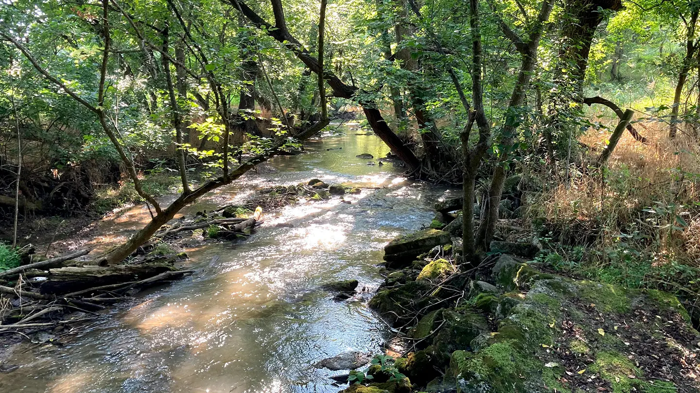
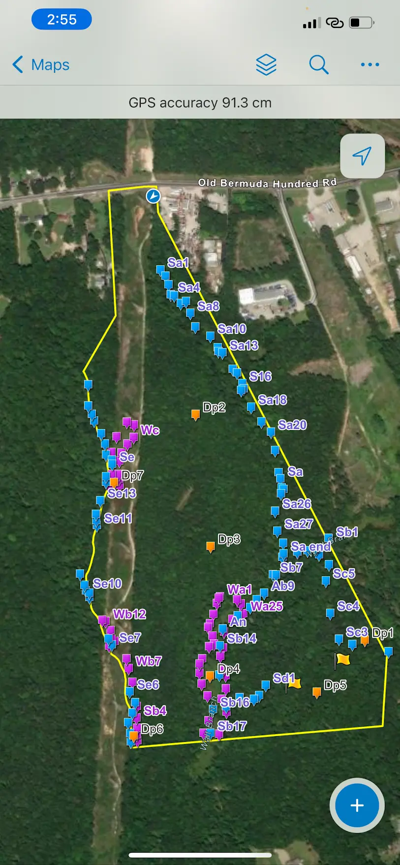
Our team identifies wetland and stream boundaries using U.S. Army Corps of Engineers (USACE) and state criteria, classifying areas based on soil, vegetation, and hydrology. We provide detailed mapping and coordinate with regulatory agencies to secure approvals.
Our Process
For Wetland Delineation
Before breaking ground on any project, it’s essential to understand whether your land contains jurisdictional wetlands or streams. Our wetland delineation services are designed to help you identify regulated areas, meet environmental permitting requirements, and avoid costly delays.
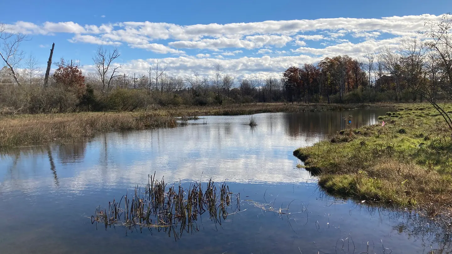
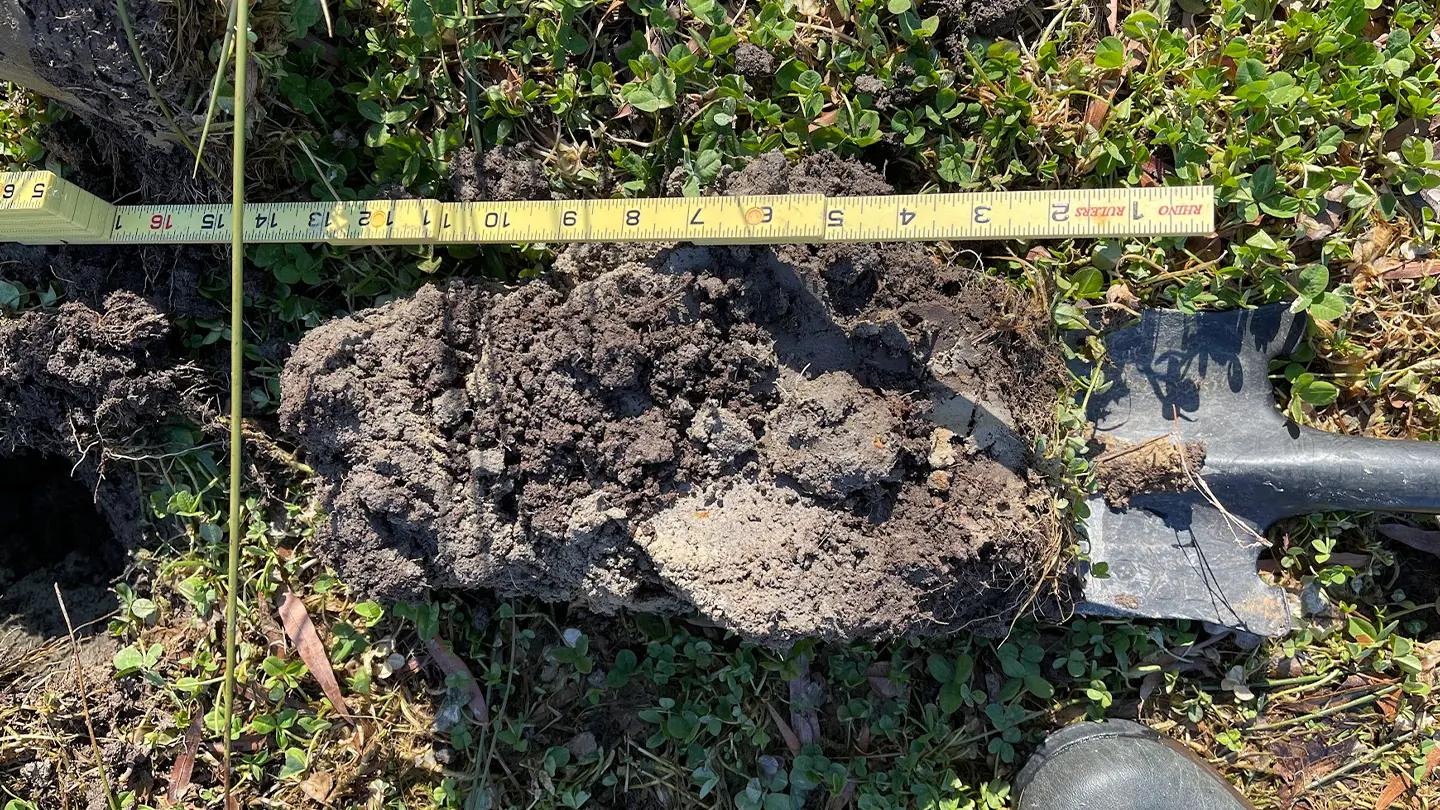
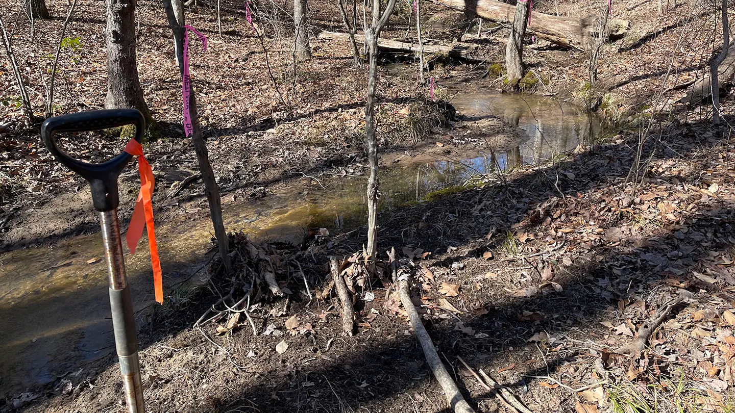
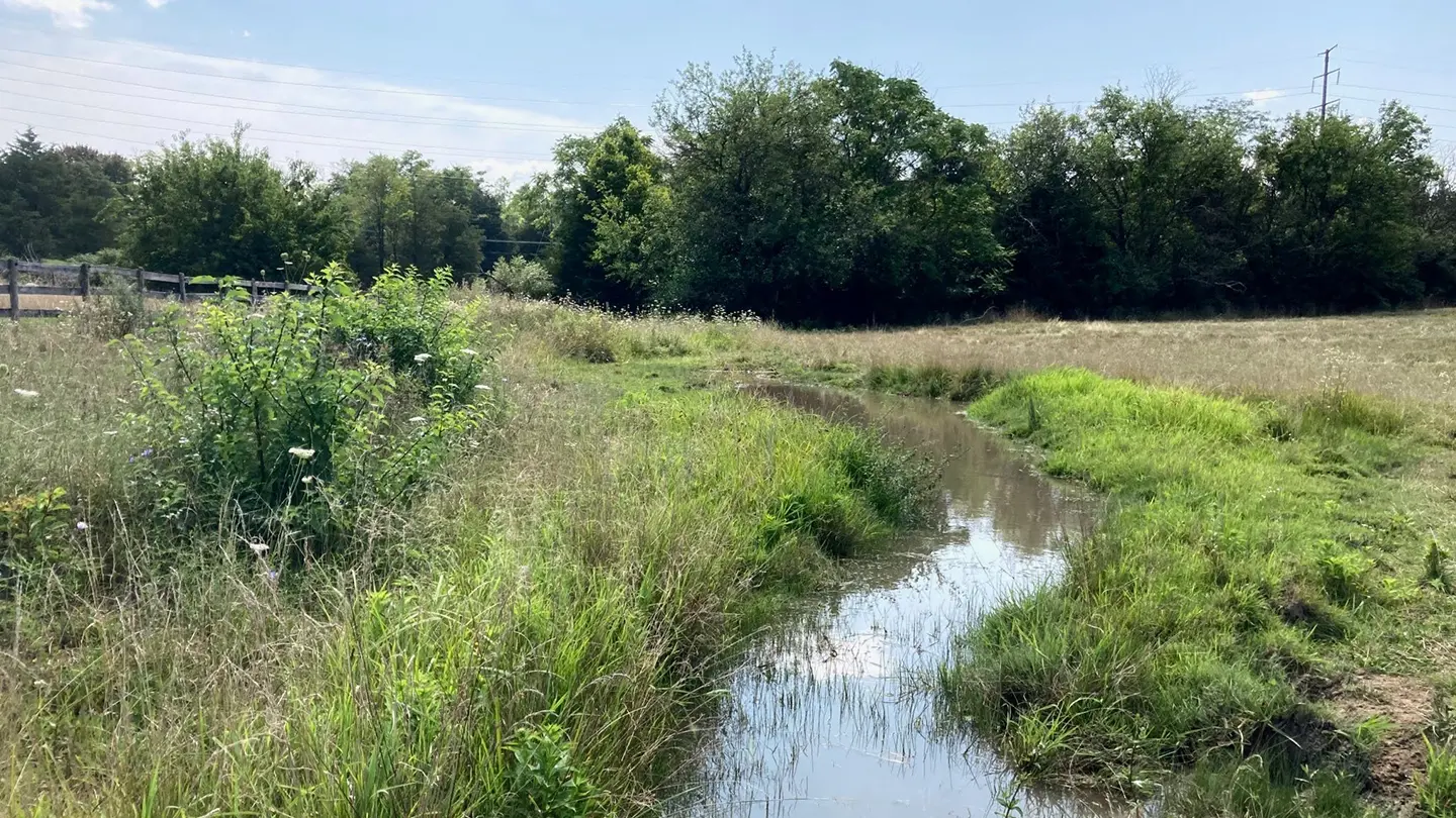
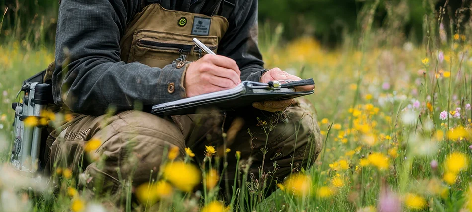
Using U.S. Army Corps of Engineers (USACE) and state-level guidance, our team conducts on-site evaluations based on three criteria: soil type, vegetation, and hydrology. This process allows us to define the exact boundaries of wetlands or streams on your property.
We then provide clear, high-quality mapping and thorough documentation to support regulatory submittals, including Section 404/401 permits. If needed, we coordinate directly with agencies to assist with Jurisdictional Determinations (JDs).
Whether you’re developing a single lot, managing a large commercial site, or working through an infrastructure upgrade, our wetland delineation reports give you a reliable foundation for the next step. Our services are trusted by civil engineers, surveyors, real estate developers, and public agencies throughout Northern VA.
Need a wetland delineation report quickly? Contact us today to speak with our team or schedule a site review.
Frequently Asked Questions
About Wetland Delineation
Before land development, a delineation is needed to determine if USACE or state permits are required.
Typically, delineations remain valid for five years unless regulations change.
Mitigation, permitting, or redesigning the project to avoid impact may be required.

View Our Work
Recent Wetland Delineation Projects in Virginia